
Ecopia AI
Founded Year
2017Stage
Grant - II | AliveTotal Raised
$11.2MLast Raised
$6.16M | 3 yrs agoMosaic Score The Mosaic Score is an algorithm that measures the overall financial health and market potential of private companies.
+37 points in the past 30 days
About Ecopia AI
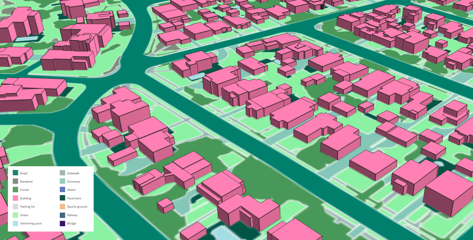
Ecopia AI focuses on leveraging artificial intelligence to digitize geospatial imagery and create high-definition vector maps. The company's main offerings include the transformation of high-resolution imagery into accurate, comprehensive, and up-to-date digital maps that facilitate data-driven decision-making across various sectors. Ecopia AI's products are utilized by industries such as federal and municipal governments, insurance, civil engineering, telecommunications, and NGOs for applications including asset management, risk assessment, and disaster response. It was founded in 2017 and is based in Toronto, Canada.
Loading...
Ecopia AI's Product Videos

Ecopia AI's Products & Differentiators
Building-Based Geocoding
Building-Based Geocoding provides 173M+ high-precision building footprints and rooftop-level geocodes for more than 240 million primary and secondary US address points. Our dedicated geocoding engine uses a unique machine learning-based address parsing system to match each address to the correct building footprint at-scale, which are extracted using our AI-based mapping technology. Ecopia's partner network of leading geospatial imagery providers captures high-resolution imagery of the US every year, enabling us to detect change and deliver annual updates of our customers, ensuring they have the most up-to-date data for their analysis and risk assessment.
Loading...
Research containing Ecopia AI
Get data-driven expert analysis from the CB Insights Intelligence Unit.
CB Insights Intelligence Analysts have mentioned Ecopia AI in 1 CB Insights research brief, most recently on Feb 13, 2025.
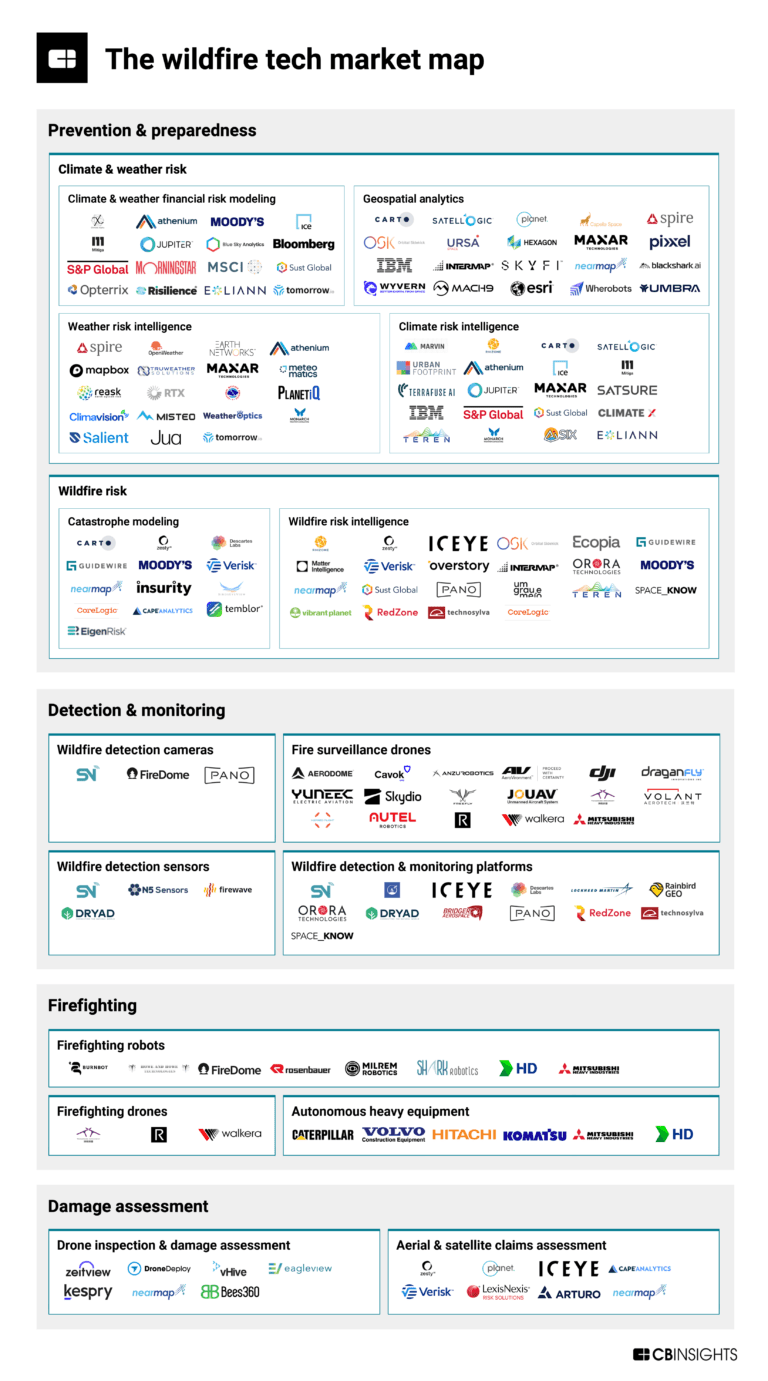
Feb 13, 2025
The wildfire tech market mapExpert Collections containing Ecopia AI
Expert Collections are analyst-curated lists that highlight the companies you need to know in the most important technology spaces.
Ecopia AI is included in 10 Expert Collections, including Construction Tech.
Construction Tech
1,529 items
Companies in the construction tech space, including additive manufacturing, construction management software, reality capture, autonomous heavy equipment, prefabricated buildings, and more
Insurtech
4,636 items
Companies and startups that use technology to improve core and ancillary insurance operations. Companies in this collection are creating new product architectures, improving underwriting models, accelerating claims and creating a better customer experience
Fintech
14,203 items
Excludes US-based companies
Advanced Manufacturing
3,970 items
Companies in the advanced manufacturing tech space, including companies focusing on technologies across R&D, mass production, or sustainability
Job Site Tech
967 items
Companies in the job site tech space, including technologies to improve industries such as construction, mining, process engineering, forestry, and fieldwork
Canadian fintech
345 items
Latest Ecopia AI News
Sep 18, 2025
Via Satellite This visual shows these AI-powered interoperable vector features across Reynosa, Mexico, including the underlying satellite imagery basemap, 2D road centerlines and building footprints, and 3D building footprints. (Photo: Maxar) Maxar Intelligence confirmed Wednesday that it is officially working in partnership with Ecopia AI to launch enhanced 2D and 3D global vector maps under the brand Vivid Features. Vivid Features integrates Maxar’s satellite imagery captured by its constellation and automated spatial fusion software with Ecopia’s AI-based mapping system. The resulting new vector maps feature building footprints, road centerlines, and land cover anywhere on Earth, designed to revolutionize and accelerate modern map making. Maxar’s automated geospatial fusion software registers 30 centimeter-class imagery to the company’s global 3D foundation, with an accuracy of 3 meters. The partners said in their announcement that Vivid Features is already delivering service to U.S. government, international government and commercial mapping customers, and has produced more than 1 billion building footprints around the world. “Gaining an up-to-date, three-dimensional understanding of our planet and how it is changing is one of the most complex challenges our customers face,” said Jon Lipinski, president and co-founder of Ecopia AI. “While millions of square kilometers of satellite images are captured each day, many organizations struggle to develop corresponding 3D vector maps and keep them current to reflect real-world change. This partnership with Maxar will enable unprecedented access to up-to-date 3D vector maps across the globe.” Stay connected and get ahead with the leading source of industry intel!
Ecopia AI Frequently Asked Questions (FAQ)
When was Ecopia AI founded?
Ecopia AI was founded in 2017.
Where is Ecopia AI's headquarters?
Ecopia AI's headquarters is located at 101 College Street, Toronto.
What is Ecopia AI's latest funding round?
Ecopia AI's latest funding round is Grant - II.
How much did Ecopia AI raise?
Ecopia AI raised a total of $11.2M.
Who are the investors of Ecopia AI?
Investors of Ecopia AI include Sustainable Development Technology Canada, InsurTech NY, Plug and Play Insurtech, ODX Ventures and Harel Insurance Investments & Financial Services.
Who are Ecopia AI's competitors?
Competitors of Ecopia AI include ZestyAI, Cape Analytics, Betterview, Cyclomedia, Nearmap and 7 more.
What products does Ecopia AI offer?
Ecopia AI's products include Building-Based Geocoding.
Who are Ecopia AI's customers?
Customers of Ecopia AI include Harford Mutual Insurance, https://tmnas.com/ and https://rethoughtflood.com/.
Loading...
Compare Ecopia AI to Competitors

ZestyAI provides AI-powered risk assessment solutions for the property and casualty insurance industry. The company offers peril-specific risk models for natural disasters and environmental hazards, along with property insights to assist in underwriting and pricing decisions. ZestyAI's services are used by the insurance sector for risk management and decision-making. ZestyAI was formerly known as PowerScout. It was founded in 2015 and is based in San Francisco, California.

GeoX specializes in property intelligence and focuses on the real estate and insurance sectors. The company offers instant access to 3D property data and analytics, powered by artificial intelligence and aerial imagery, to provide detailed insights into commercial and residential properties across the United States. GeoX primarily serves the insurance industry with data-driven solutions for claims processing and underwriting. It was founded in 2018 and is based in Givatayim, Israel.

Arturo specializes in property intelligence and offers solutions in the insurance sector. The company provides an artificial intelligence-based platform that facilitates insurance underwriting, risk management, and claims processing by leveraging data analytics and computer vision models. Arturo primarily serves the insurance industry, enhancing decision-making processes for insurers. Arturo was formerly known as Deep Image Analytics. It was founded in 2018 and is based in Denver, Colorado.

Vexcel Imaging is a company in the aerial imaging and photogrammetry sector, focusing on the development of aerial mapping systems and post-processing software within the geospatial technology industry. The company provides aerial cameras and hybrid camera-LiDAR systems, aimed at various application needs and accuracy requirements, along with the UltraMap suite of software for automated data processing and quality product generation. Vexcel Imaging serves sectors that require aerial survey and mapping solutions, including government agencies and businesses needing geospatial data. It was founded in 1992 and is based in Graz, Austria. In May 2003, Vexcel Imaging was acquired by Vexcel.

ICEYE focuses on synthetic aperture radar (SAR) satellite operations within the Earth observation space. The company offers Earth imagery and monitoring capabilities for sectors such as insurance, government, and defense. ICEYE's services assist in natural catastrophe response, risk assessment, and surveillance, independent of weather conditions. It was founded in 2015 and is based in Espoo, Finland.

Geospatial Insight focuses on delivering independent research and analysis through the use of geospatial imagery in various sectors, including finance and insurance. The company offers services such as risk analysis, investment evaluation, asset monitoring, and event impact assessment by integrating satellite, aerial, and drone imagery with other data sources. Geospatial Insight primarily serves the finance and insurance industries with its advanced data analytics and geospatial intelligence capabilities. It was founded in 2012 and is based in Birmingham, United Kingdom.
Loading...